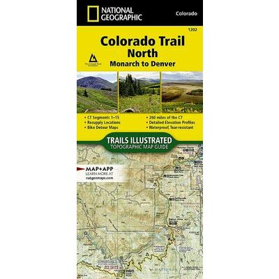
NATIONAL GEOGRAPHIC WANDELKAART COLORADO TRAIL NOORD - MONARCH TO DENVER (9781566956956)
OMSCHRIJVING
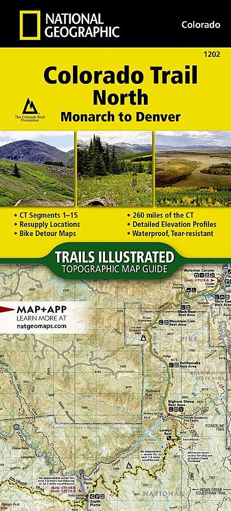
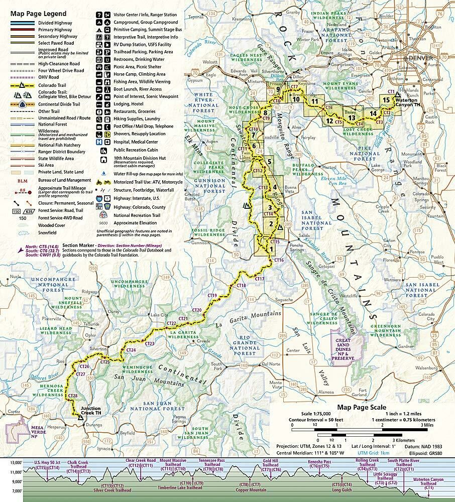
Gedetaileerde wandelkaart / fietskaart van het noordelijke deel van de Colorado Trail: CT segment 1-15 (in totaal 260 miles)
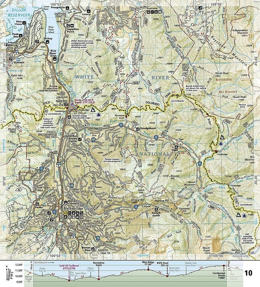
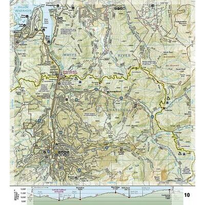
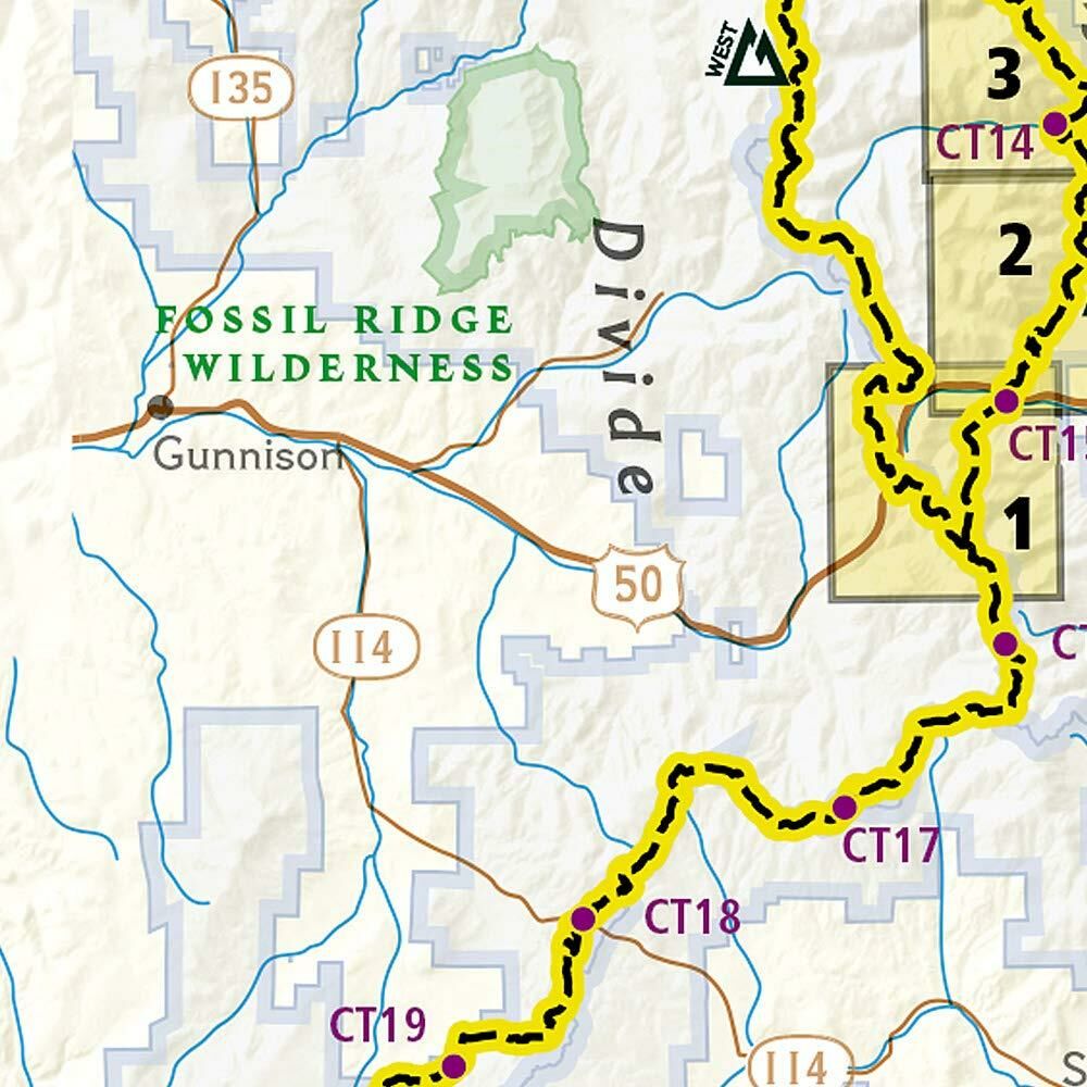
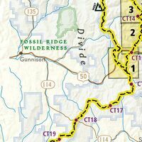
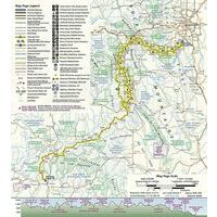
- kaartgids (gevouwen als boekje) met aadrin 16 wandelkaarten met daarop ingetekende trails met moeilijkheidsaanduiding
- gedrukt op waterproof en scheurbestendig papier
- met ingetekende wandelpaden en campsites
- schaal 1:75.000 (1 cm = 750 meter)
- hoogtelijnen
- mooi kleurgebruik
- GPS-compatible
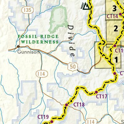
The Colorado Trail is often started at its north terminus in Waterton Canyon just outside of Denver. When traveling from north to south the trail follows the South Platte River and quickly climbs into the Lost Creek Wilderness. From here the trail crosses into Holy Cross Wilderness near Leadville. The trail then skirts the eastern slope of the Sawatch Range and passes beneath Mount Elbert, the highest mountain in Colorado. Next comes the Collegiate Peaks Wilderness with its multiple 14ers before finally joining with the Collegiate Loop near Monarch Pass. The Colorado Trail from Monarch to Durango is then picked up on the south Topographic Map Guide. Each page is centered on the trail and overlaps with adjacent pages so there is little chance of getting lost. Along the bottom of each page is a trail profile that shows the distance between passes, camping areas, and trail access points. The map and trail profile provide a step by step visual guide to hiking the trail, mile by rugged mile.
Expertly researched and created in partnership with local land management agencies including The Colorado Trail Foundation, this map guide provides detailed topographic maps, interesting history, bike detour maps, and a resupply location chart shows distances, and services available at each resupply point.
More convenient and easier to use than folded maps, but just as compact and lightweight, National Geographic's Topographic Map Guide booklets are printed on "Backcountry Tough" waterproof, tear-resistant paper with stainless steel staples. A full UTM grid is printed on the map to aid with GPS navigation.
Bekijk alle Noord- & Zuid-Amerika
OMSCHRIJVING
- kaartgids (gevouwen als boekje) met aadrin 16 wandelkaarten met daarop ingetekende trails met moeilijkheidsaanduiding
- gedrukt op waterproof en scheurbestendig papier
- met ingetekende wandelpaden en campsites
- schaal 1:75.000 (1 cm = 750 meter)
- hoogtelijnen
- mooi kleurgebruik
- GPS-compatible
The Colorado Trail is often started at its north terminus in Waterton Canyon just outside of Denver. When traveling from north to south the trail follows the South Platte River and quickly climbs into the Lost Creek Wilderness. From here the trail crosses into Holy Cross Wilderness near Leadville. The trail then skirts the eastern slope of the Sawatch Range and passes beneath Mount Elbert, the highest mountain in Colorado. Next comes the Collegiate Peaks Wilderness with its multiple 14ers before finally joining with the Collegiate Loop near Monarch Pass. The Colorado Trail from Monarch to Durango is then picked up on the south Topographic Map Guide. Each page is centered on the trail and overlaps with adjacent pages so there is little chance of getting lost. Along the bottom of each page is a trail profile that shows the distance between passes, camping areas, and trail access points. The map and trail profile provide a step by step visual guide to hiking the trail, mile by rugged mile.
Expertly researched and created in partnership with local land management agencies including The Colorado Trail Foundation, this map guide provides detailed topographic maps, interesting history, bike detour maps, and a resupply location chart shows distances, and services available at each resupply point.
More convenient and easier to use than folded maps, but just as compact and lightweight, National Geographic's Topographic Map Guide booklets are printed on "Backcountry Tough" waterproof, tear-resistant paper with stainless steel staples. A full UTM grid is printed on the map to aid with GPS navigation.
Bekijk alle Noord- & Zuid-Amerika
PRODUCTINFORMATIE NATIONAL GEOGRAPHIC WANDELKAART COLORADO TRAIL NOORD - MONARCH TO DENVER
PRODUCTINFORMATIE NATIONAL GEOGRAPHIC WANDELKAART COLORADO TRAIL NOORD - MONARCH TO DENVER
HET MERK NATIONAL GEOGRAPHIC

National Geographic is voor al bekend om zijn fraaie natuurbeelden die iedereen weleens gezien heeft. Ook het blad National Geographic is bij menig persoon bekend. Daarnaast heeft National Geographic uitstekende reisgidsen (Engels en Nederlands) en prima wegenkaarten (Adventure Maps) en wandelkaarten van de Rocky Mountains en natuurparken in Noord-Amerika.
HET MERK NATIONAL GEOGRAPHIC

National Geographic is voor al bekend om zijn fraaie natuurbeelden die iedereen weleens gezien heeft. Ook het blad National Geographic is bij menig persoon bekend. Daarnaast heeft National Geographic uitstekende reisgidsen (Engels en Nederlands) en prima wegenkaarten (Adventure Maps) en wandelkaarten van de Rocky Mountains en natuurparken in Noord-Amerika.
GARANTIE
Of u het product online via de webshop of in onze fysieke winkel gekocht heeft, de garantie is voor Zwerfkei hetzelfde. De garantietermijn kan per product en merk verschillen, van één jaar tot de volledige levensduur van het product. Garantie geldt in principe op alle materiaal- en/of fabricagefouten, en niet op defecten als gevolg van slijtage of verkeerd gebruik. In het geval van garantie wordt het defecte product vervangen, vergoed of hersteld door de fabrikant/importeur of door een professionele en gespecialiseerde reparateur.
Zwerfkei verzorgt de begeleiding en de afhandeling van garantiegevallen voor u. Wij bieden het product na beoordeling ter reparatie aan bij de fabrikant/importeur of één van hun professionele servicediensten. Wij onderhouden goede contacten met onze servicediensten en samen zorgen wij ervoor dat elk defect zo snel mogelijk opgelost wordt.
NATIONAL GEOGRAPHIC WANDELKAART COLORADO TRAIL NOORD - MONARCH TO DENVER KOPEN?
KEUZEHULP
OPENINGSTIJDEN
| Ma | 13:00 - 18:00 uur |
| Di | 09:00 - 18:00 uur |
| Wo | 09:00 - 18:00 uur |
| Do | 09:00 - 18:00 uur |
| Vr | 09:00 - 21:00 uur |
| Za | 09:00 - 17:00 uur |
| Zo | gesloten |
3446 CR Woerden
0348-421648
ANDERE KLANTEN KOCHTEN OOK

